John is a professor and co-founder of a tech startup “Maphive” in the field of indoor mapping system. In 2018, Maphive launched a brand new Indoor Mapping Technology and branded as “Mapxus”. Indoor mapping is synced to our future life and next generation, and that’s why the team at Mapxus has started R&D at it since 2013.
More than a cool sexy marketing word, “indoor mapping system” does bridge our old world into a brave new one featuring Smart Mobility. But what lies behind the scene is the ugly truth that most of our spatial data is scattered, not standardized, not geo-tagged, not co-operable, not searchable nor sharable. But it would be a burnout game if we build the city spatial data bits and pieces in an old traditional way.
Time to Sow
What the team at Mapxus is doing, is to develop a simplest, faster, and least expensive way of producing easy-to-gen, scalable, quality indoor mapping information for even SMEs, which counts for circa 98% of our local business community. (Source: LegCo information in mid 2018)
The dream of Mapxus is, invest in no expensive hardware, everyone can simply ride on our platform to generate user-oriented, seamless indoor mapping information for multi-building environment.
A long story short. The seed of Mapxus is sowed in the MTR internship of John who needs to map out every single scattered water leaking spots manually in adverse low visible environments like dusty sites and tunnels.
The wake up call of John’s career comes in late 1996, with the tragedy of Garley Building, the most severe fire in Hong Kong. The fatal loss of a good friend of him turns into a determination and motivation. John swears to establish a genuinely safe indoor environment with accurate positioning data, supporting smart and safe mobility for fire forces, visually impaired friends and the needy.
Time to Sprout
The seed sprouts when John leads a group of U grads to start up an environmental-friendly business after working as a professor in Sun Yat-sen University and University of Nottingham Ningbo China. The team aims at streamlining the roadmap and logistics for garbage and kitchen waste recycling operations for 4 to 5 mainland cities.
An angel investment in 2013 kick starts the research of indoor mapping information system. John’s team was one of the first research team on Bluetooth-based positioning in Pacific Asia. Since John has got an engineer brain instead of a scientist one, he just couldn’t agree with the non-scalable implementation methodology, throwing money into the water for hardware installation and calibration. Not to mention the costly maintenance later on.
Time to Get Snapped in the Face
“I could still remember how embarrassing it is to walk with a local developer boss in a field trip testing the indoor navigation system designed for a mall of them.” Says John. “It’s fair to say our indoor positioning performs well. But we still couldn’t show a precise digital map at that time but a screen captured version from outdoor map platform instead, not attractive really, sometimes even a bit outdated.”
In such case they are caught red handed with 4 mistakes of shop address. This lesson turns out to be a catalyst. Time to establish their own “Indoor Mapping System”.
What’s an “Indoor Mapping System”? Let’s start from the ABC of an outdoor one -the GIS (Geographical Information System). There are clear definitions of “main road”, “kerbside”, “pavement” and “highflyer” in the outdoor environment. But our definition for a designated indoor point is simply too vague. Cite for an example, there may be some 20 ways to describe the same point, like “toilet”, “WC”, “washroom”, “restroom”, “男廁”, “女廁”, or simply a logo of a dress, a cigarette, etc. And we need to teach the system to learn every detail of it.
John and team worked from scratch to write their own “Data Format”, with indoor points well defined, and well aligned with the Indoor Navigation System on the general mobile platform like iOS and android. It took a couple of years for Mapxus to integrate the indoor mapping, positioning, navigation plus live map all in one. Mapxus is launched and ready for everyone to build applications on top. Another interesting story is, through an interactive transformation process, Mapxus was honored to become one of the first Apple Indoor Map Program partners since 2019.
A Right Mix of Research and Industrial Experience
Welcomed on board in 2015, Ocean brings affluent experience of operation, business development, and client communication from the IoT and industrial engineering field. This adds color to Mapxus team of R&D expertise.
Ocean once planned to develop a new app of job matching. But John finds it a waste of his intelligence as Hong Kong’s market size limits the app’s scalability. To win a talent John shows Ocean the prospects of their logistic mapping system for garbage and kitchen waste collection in mainland, which catches his attention immediately. The two of them has soon become partners and co-founds of two companies, Locision and Maphive, where the history of Mapxus turns a new leaf.
Time to Reap is Yet to Come
Yes John did aim at building a global indoor mapping system in day one. But only a fat chance would be left for him and team to move forward if they rely on hardware installation, covering only one or two separate locations. The vision and mission of Mapxus is to establish a global indoor map connecting point to point and nation to nation for all walks of life, by AI and infrastructure-free positioning technology, making the world a truly seamless and barrier free one especially for the less abled communities, and a safer one for the needy and rescue force, say the fire services.
Background:
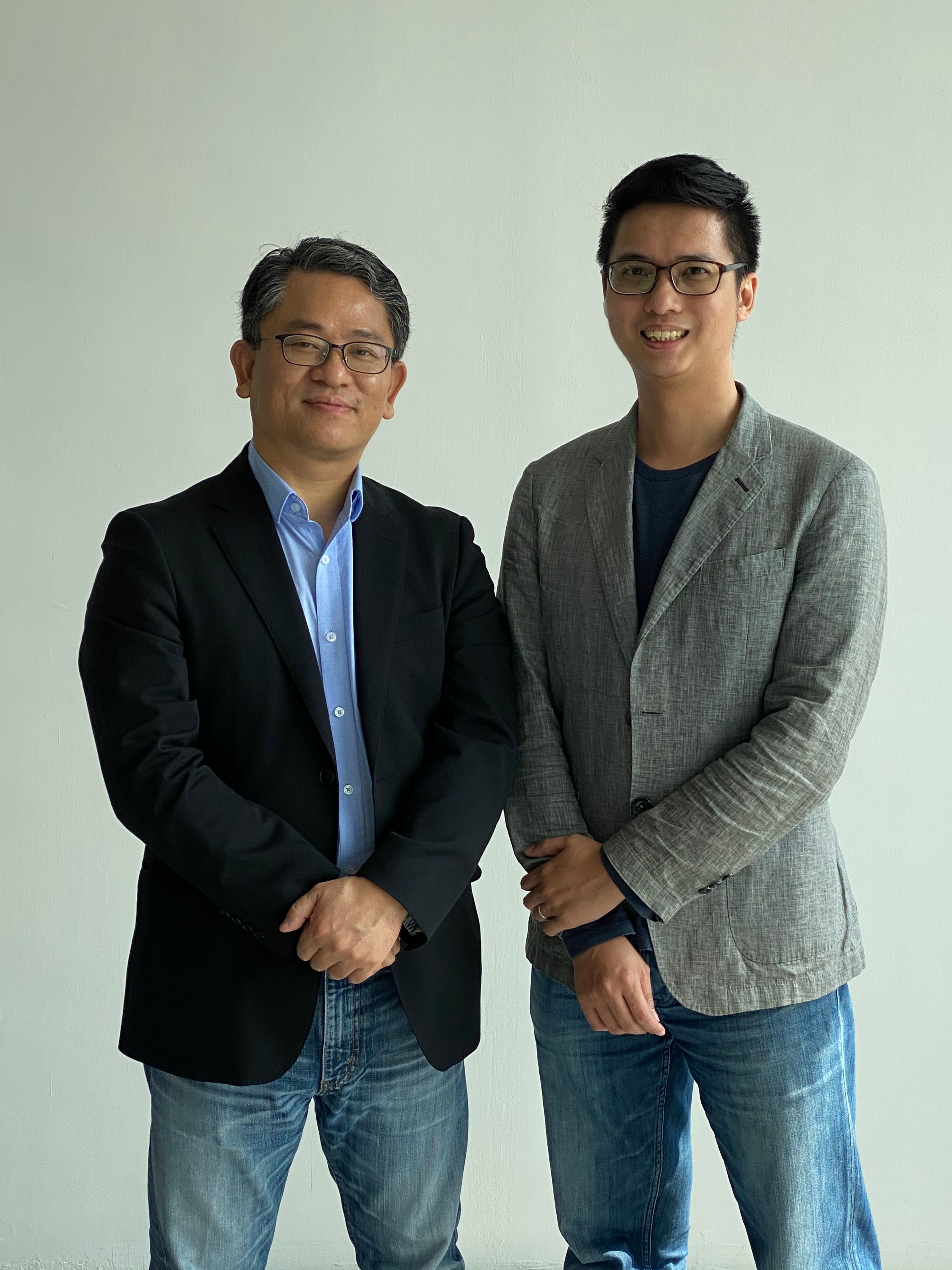
Dr. John Chan, CEO
Dr. John CY Chan, PhD, Hong Kong Polytechnic University, postdoctoral researcher of Blake/Rowland Laboratory, University of California, Irvine (*Professor S. Rowland is a Nobel laureate in 1995), and Professor in Sun Yat-sen University, is the Founder of Locision Technology Limited. Currently Dr. Chan is the Founder and Chief Executive Officer of Maphive Technology Limited (Mapxus).
Ocean Ng, COO
Ocean Ng, Ocean is a Hong Kong Polytechnic University Alumnus with a master degree and bachelor degree both majoring in Industrial Engineering. He is the co-founder of Locision. Currently Ocean is the Co-founder and Chief Operation Officer of Maphive (Mapxus).


